WE study how different individuals represent spatial environment and how different navigational strategies affect their spatial representations. In particular we are interested in cognitive maps of individuals who rely on spatial updating. Spatial updating operates on transient egocentric representations, in which the relationships between the surrounding landmarks and the navigator must be updated as the navigator moves.
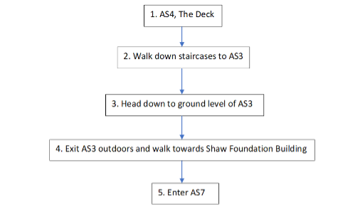
In our experiment, participants were taken on route (10 minutes multilevel route), which was unfamiliar to them, and after that they were asked to perform a variety of wayfinding (e.g., shortcut) and spatial updating tasks. They were also asked to sketch a map of the route.
Participants’ maps were classified into three categories:
 The first one was procedural non-spatial maps, which did not preserve any spatial relations, but only the sequence of landmarks on the route:
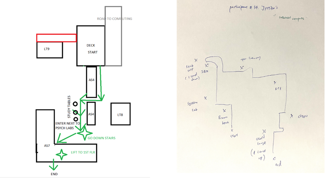 Two other types of maps were survey maps, allocentric and egocentric survey maps. The allocentric survey maps a represented environment from a third person (top-down perspective), they preserved spatial relations correctly.
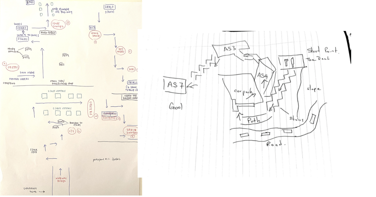 The egocentric survey maps represented environment from first-person perspective (note how the drawings of landmarks change when a person changes orientation), preserving not only spatial relations but also an orientation of the navigator.
Participants’ performance on other wayfinding tests indicated that those who sketched egocentric survey maps relied on spatial updating strategies, while those who drew allocentric maps rely on map-based allocentric (offline), memory-based strategies.
Relevant research articles: